Swimming Deer Trail
Wifi
onlinepayment
VIP
About Place
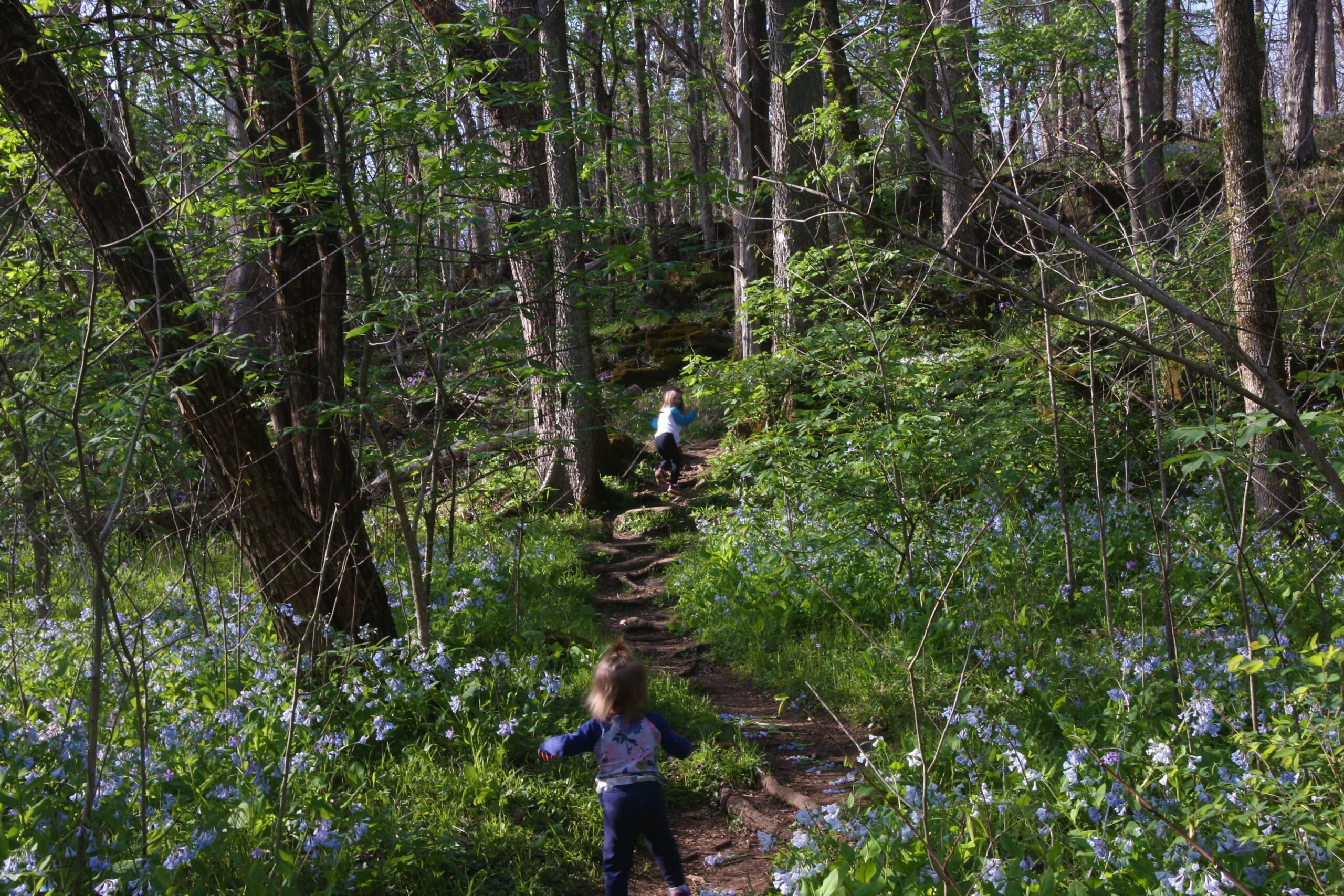
This trail at St. Francois State Park has the most beautiful bluebells around.
The trailhead for Swimming Dear is located in the St. Francois campground. Pass the entrance gate to the campground (free entry) and park by the shower house/restrooms right next to the small playground. The trailhead is right on the other side of the playground!
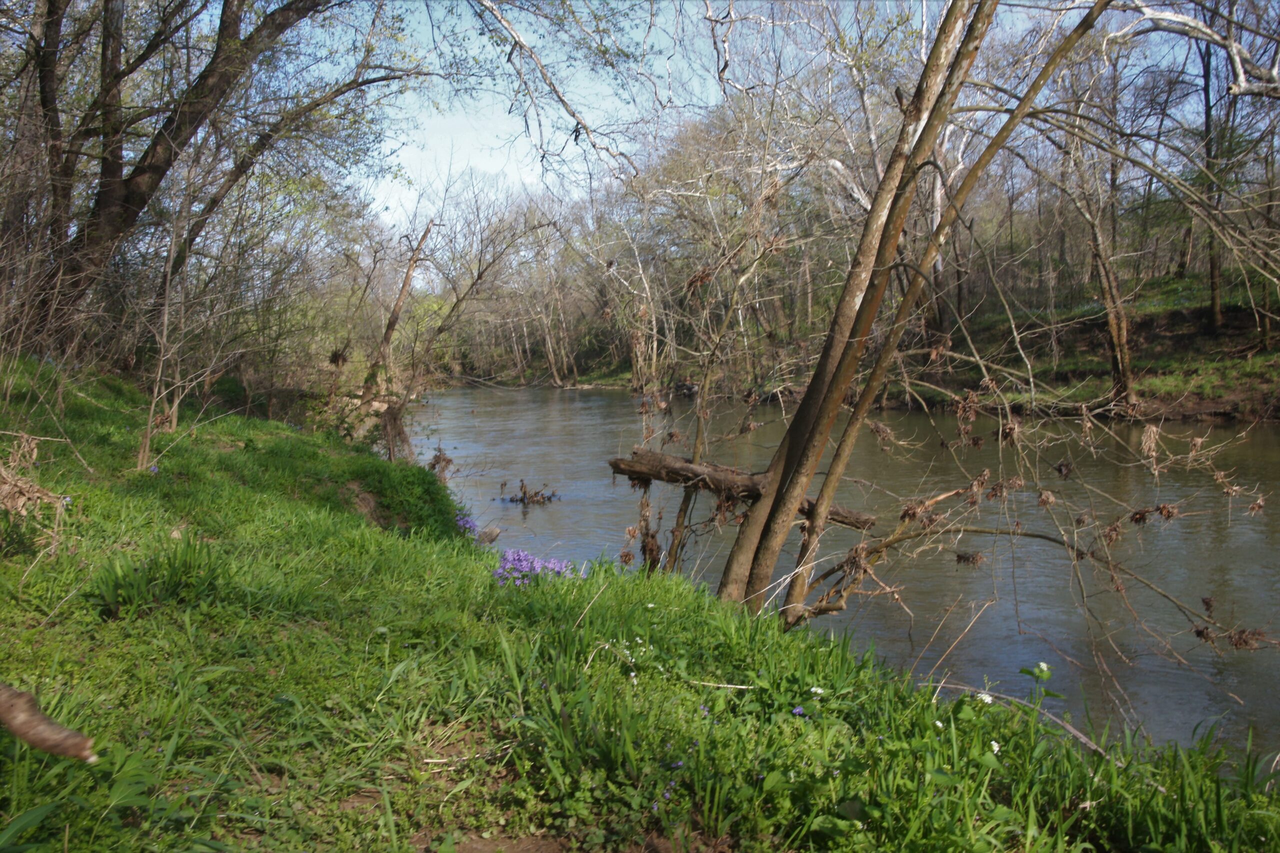
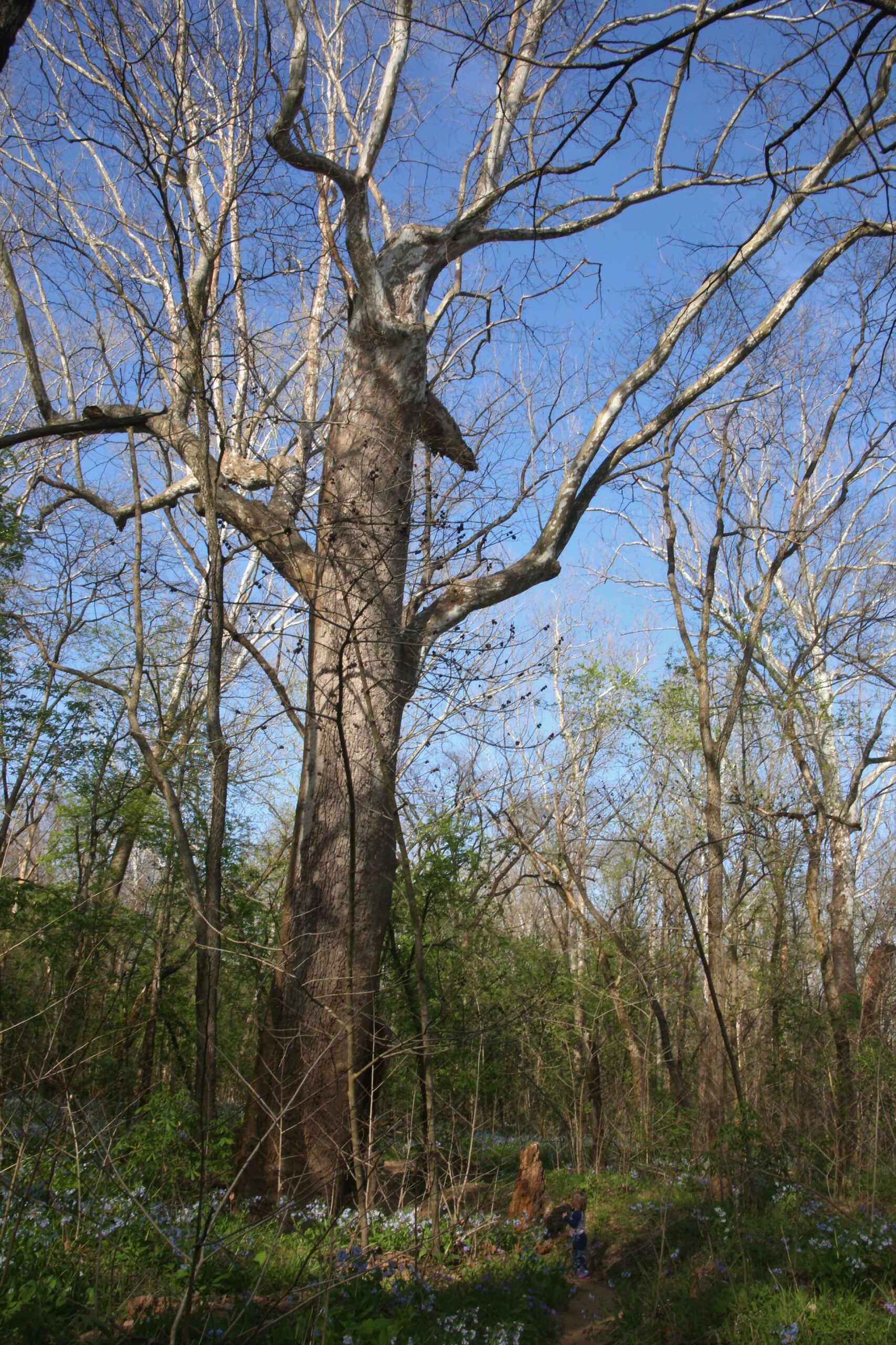
This 3.3 mile loop trail is unpaved and goes through the woods (not stroller-friendly and not handicapped-accesible). After one half of a mile, the bluebells are on both sides of the trail and are everywhere in all directions. The trail then goes along the Big River and turns into some sand, which adds some more fun for kids. You can continue on the trail to complete the whole distance or you can turn back and hike back the same way you came. We usually turn around at the river and head back to the campground. If you continue the remainder of the loop, the trail markers at times can be hard to see. There are several bluff overlooks and remnants of a historic log sawmill.
Address: St. Francois State Park (8920 US Highway 67 North, Bonne Terre, MO 63628)
GPS to trailhead: 37°57'20.6, -90°31'59.3
Dogs are allowed on this trail.
Moderate Trail
Trail Length: 3.3 miles
Unpaved, not stroller-friendly
Address: 307 Pinetum Loop Rd, Gray Summit, MO 63039
Ticket Info: Tickets are $5/adults. Kids under 12 are free. If you have a membership to Missouri Botanical Garden, admission to Shaw Nature Reserve is free! Once you check-in to the booth, you’ll get a coin that will open the entrance gate. Once the gate opens, you can drive to a trail head.
In April, the Virginia Bluebells start blooming. Shaw Nature Reserve has the most beautiful trail, called the Bluff Overlook, to see the bluebells. I try to hike here in early April or by Tax Day (April 15th) to see the bluebells in bloom. This hike is unpaved, not stroller-friendly and not handicapped accessible. To access this trail, drive to the parking lot of Maritz Trailhouse (far north on the property). The GPS Coordinates: 38.46675° N, 90.81922° W.
We parked at the Maritz Trailhouse (which also has restrooms) and hiked the green trail (Bluff Overlook) that is 1.4 miles to the river. The trail starts out on a gravel trail from the left of the trailhouse. The trail winds through the woodlands to the overlook, which is so beautiful with some larger dolomite! From the overlook, the trail goes on a steeper decline to the floodplain. This is where all of the bluebells are located. They are on both sides of the trail and breathtaking. From here, you can turn back and go back the same way you came, or you can continue on the blue trail (Rus Goddard River Trail) to the river. I highly recommend taking the river trail to the gravel bar. It has great views of the Meramec River and it is not too buggy during this time of the year. Several miles of the Meramec River flow through Shaw Nature Reserve and the tide of the river can be strong, so make sure to keep an eye on your little ones in case they get too close to the river’s edge.
On the way back, we like to take the Wildflower Trail back to the trailhouse and look at the glades. The Wildflower Trail has some neat rocks and cliffs to walk along too! You can also backtrack to the Bluff Overlook.
You can pull up the free All Trails app on your phone while hiking this one, as there are intersecting trails throughout and it can be a little confusing on which way to go.
The map is a screenshot from Shaw Nature Reserve’s trail map. I added a green X to mark where the bluebells are (along the green trail before it meets the blue trail.
0
Booking.com
Contact Information
St. Francois State Park (8920 US Highway 67 North, Bonne Terre, MO 63628)
No comment yet, add your voice below!